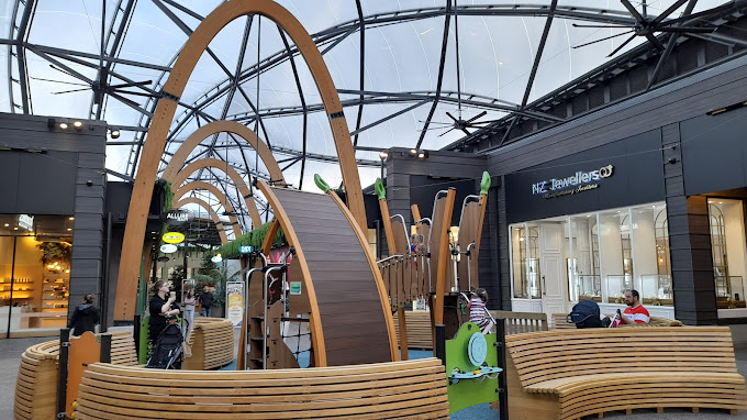
Waihorotiu Stream is Auckland’s largely culverted historic waterway, mapped at 21/7 Queen Street, Auckland CBD, Auckland 1010, New Zealand. Its former course ran north through the present-day Queen Street valley to Commercial Bay, shaping the geography of the city centre long before the area became Auckland’s commercial spine. The stream is not an open attraction or a place visitors can enter; travellers come to trace its route on foot, understand the Māori and colonial history embedded beneath central Auckland, and see how reclamation, drainage and street-building transformed the waterfront.
What to Expect at Waihorotiu Stream
The experience is a self-guided piece of urban history rather than a conventional museum visit. Start on lower Queen Street and look north toward Commercial Bay, where Waihorotiu once reached the harbour. The broad, built-up corridor now occupied by Queen Street follows the valley that carried the stream. Commercial Bay itself was progressively altered by nineteenth-century reclamation, leaving the original stream mouth and shoreline inland from today’s waterfront.
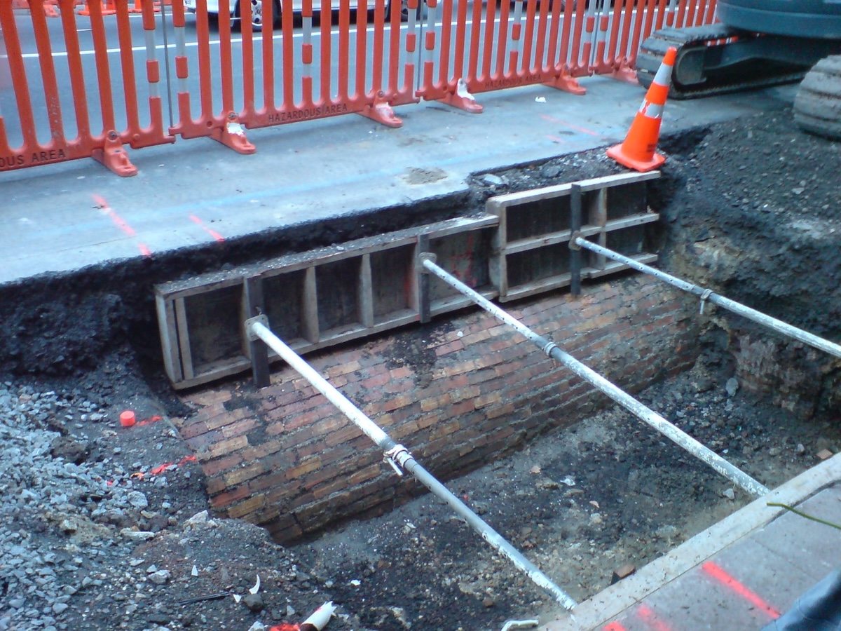
Walking south up Queen Street reveals why the waterway matters to Auckland’s layout: the route rises through the central business district toward Aotea Square and the upper city. The stream was enclosed in culverts as urban development expanded, so there is no exposed water, boardwalk, visitor centre or collection of artefacts at the mapped point. Pair the walk with Auckland’s public heritage interpretation, street names and surviving topography, rather than expecting a signed trail. Its strongest appeal is seeing an everyday shopping and office district through the lens of the landscape that preceded it.
- Queen Street valley route: Trace the former watercourse along Auckland’s principal city-centre street.
- Commercial Bay context: Stand near the historic harbour edge and consider how reclamation changed the stream’s outlet.
- Underground culvert legacy: Learn how central Auckland’s waterways were enclosed as streets and services expanded.
- Māori place history: Waihorotiu preserves the name and identity of a significant pre-colonial freshwater landscape.
- Walkable city-history stop: Combine the route with Aotea Square, Britomart and the waterfront in one short central-city walk.
Waihorotiu Stream at a Glance
| Detail | Information |
|---|---|
| Address | 21/7 Queen Street, Auckland CBD, Auckland 1010, New Zealand |
| Neighborhood / Area | Lower Queen Street, Auckland CBD; the historic route continues south through the Queen Street valley. |
| Operating Hours | Public streets are accessible 24 hours daily; visit in daylight for safer, clearer orientation. |
| Admission & Ticket Prices | Free public access. No tickets, timed entry or reservations are required. |
| Recommended Visit Duration | 30 to 45 minutes for a focused route walk; allow longer when combining nearby sights. |
| Nearest Transit / Parking | Britomart Transport Centre is about a 7-minute walk; Queen Street and Wellesley Street bus stops are nearby. Downtown Car Park is a short walk west. |
| Official Website / Phone | No dedicated visitor office or phone. Use Auckland Council for central-city public-space information. |
Visiting Tips, Getting There & Nearby Pairings
Arrive in the morning or early afternoon, when daylight makes it easier to read the slope of Queen Street and navigate busy crossings. Begin near Commercial Bay or Britomart, then walk south on Queen Street toward Aotea Square; this direction moves upstream along the historic valley. There are no tickets to buy and no formal guided tour to book for the stream itself. For a deeper historical visit, check Auckland Council and central-city walking-program listings before travelling, as occasional heritage walks vary by date.
Britomart is the most useful rail, ferry and bus interchange for the lower end of the route. Drivers can use Downtown Car Park, but central-city traffic and paid parking make public transport simpler. Queen Street has paved footpaths, signalised crossings and step-free access along most of this route, making it workable for wheelchairs and strollers; allow extra time for crowds, driveway crossings and the steady uphill grade when walking south. Within 5 to 15 minutes on foot, visit the waterfront at Commercial Bay, browse the heritage lanes and eateries of Britomart, or continue to Aotea Square and the Auckland Art Gallery Toi o Tāmaki near Albert Park.
Frequently Asked Questions
What are Waihorotiu Stream’s hours, and when is the best time to go?
The route is in public streets and can be walked at any time. Daylight hours are best, particularly morning through mid-afternoon, because the stream is underground and the visit relies on observing the surrounding street pattern, valley and waterfront context.
Does Waihorotiu Stream charge admission or need reservations?
No. Waihorotiu Stream is an underground historic waterway beneath the city, not a ticketed attraction. Walking its former Queen Street route is free, and neither entry tickets nor reservations are required.
How much time should I budget for Waihorotiu Stream?
Allow 30 to 45 minutes to walk between the lower Queen Street and Aotea Square areas, pause at Commercial Bay and understand the route. Add one to two hours if you are including Britomart, the waterfront, Auckland Art Gallery or a meal nearby.
Is Waihorotiu Stream suitable for families and wheelchair users?
Yes, as a city-centre history walk. The stream itself is inaccessible because it is culverted underground, but Queen Street’s paved footpaths and signalised crossings generally support wheelchairs and strollers. Families should supervise children closely around traffic and allow for the uphill slope toward Aotea Square.
When planning your Auckland travel guide or browsing verified attractions in Auckland, pair this stop with standout local spots including Auckland harbour viewpoint, Auckland Domain, One Tree Grill, and Queens Arcade (nearby).