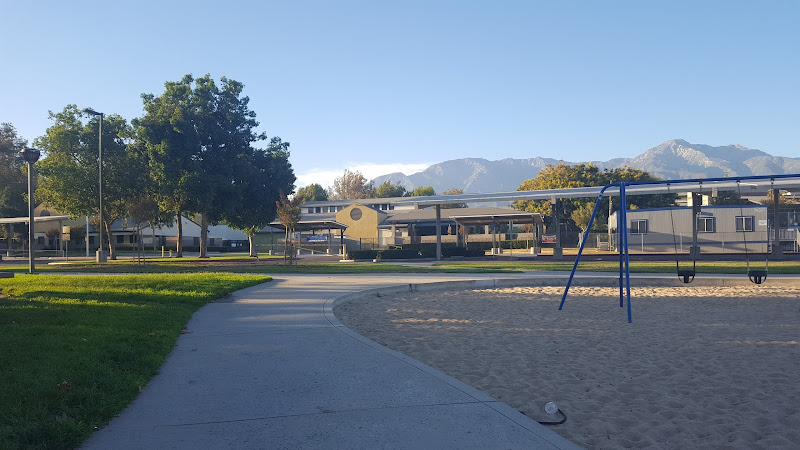
North Etiwanda Preserve is a 1,200-acre foothill nature preserve at 4890 Etiwanda Ave, Rancho Cucamonga, CA 91739, in the city’s northern Etiwanda area beneath the San Gabriel Mountains. Travelers come for a direct encounter with Southern California chaparral, oak woodland, Etiwanda Creek’s riparian corridor, and the uphill route toward seasonal Etiwanda Falls.
What to Expect at North Etiwanda Preserve
This is a working landscape of dry, fragrant coastal sage scrub and chaparral rather than a manicured city park. The preserve sits on the broad alluvial fan below the mountains, where Etiwanda Creek cuts through boulders and native vegetation. In wetter months, look for flowing water, sycamores and oak shade near the creek; summer brings exposed, hot trails and wide views south across the Inland Empire. Interpretive signs at the lower trailhead introduce the area’s habitats and wildlife.
The principal outing is the dirt-and-rock route toward Etiwanda Falls, continuing from the preserve into the foothills near the San Bernardino National Forest boundary. It is a sustained climb of roughly 3.4 miles round trip with about 650 feet of elevation gain, ending at a narrow granite canyon and a waterfall that is most reliable after winter storms. Wear grippy shoes, take more water than you expect to need, and do not treat the creek crossing or waterfall pool as a guaranteed swimming destination.
- Etiwanda Falls route: A rocky, uphill out-and-back hike leading toward a seasonal waterfall and granite gorge.
- Etiwanda Creek corridor: Riparian vegetation creates a cooler, greener contrast to the surrounding dry foothill slopes.
- Chaparral slopes: Watch for yucca, sage scrub and fire-adapted plant communities characteristic of the San Gabriel foothills.
- Oak and sycamore shade: Native trees cluster along drainage areas, particularly welcome on the lower sections of the trail.
- Inland Empire views: Higher sections open onto long south-facing views over Rancho Cucamonga and the valley floor.
North Etiwanda Preserve at a Glance
| Detail | Information |
|---|---|
| Address | 4890 Etiwanda Ave, Rancho Cucamonga, CA 91739 |
| Neighborhood / Area | North Etiwanda foothills, Rancho Cucamonga |
| Operating Hours | Daily, 6:30 AM–6:30 PM |
| Admission / Price Range | Free trail access; paid parking may apply. $ |
| Recommended Visit Duration | 1.5 to 2.5 hours for the falls route; 45–60 minutes for lower trails |
| Nearest Transit / Parking | Limited trailhead parking off Etiwanda Avenue; driving is the practical access option |
| Official Website & Phone | San Bernardino County Parks · +1 888-818-8988 |
Visiting Tips, Getting There & Nearby Pairings
Arrive close to the 6:30 AM opening, especially on weekends and after rain, when the small trailhead lot fills quickly and the falls are at their most appealing. There is no rail station within an easy walk of the preserve; use a car, rideshare or bicycle and enter from Etiwanda Avenue. Check the county’s official park page before leaving for weather-related closures, fire restrictions and parking updates. There is no artificial trail lighting, so plan to be back at the trailhead well before closing.
This is not a step-free attraction: the main routes are natural-surface paths with loose rock, uneven grades and a considerable uphill section. They are unsuitable for wheelchairs and most strollers, and there are no elevators or paved scenic loops to substitute for the falls hike. Families with confident older children can enjoy the lower trail and interpretive area, while toddlers need close supervision near rocks and seasonal water. Nearby on foot, pair the visit with the upper Etiwanda Creek canyon, the Etiwanda Falls approach and the San Bernardino National Forest boundary reached along the same foothill trail system.
Frequently Asked Questions
What are the hours, and when is the best time to go?
North Etiwanda Preserve is open daily from 6:30 AM to 6:30 PM. Start at opening for cooler temperatures, clearer views and a better chance of finding parking; spring and the days following winter rain are the prime periods for creek flow and the falls.
Does North Etiwanda Preserve charge admission or require reservations?
Walking access to the trails is free, and reservations are not required for an individual visit. Vehicle parking can carry a fee, so bring a payment method and consult the official county page for the current parking arrangement before arrival.
How much time should I budget for the Etiwanda Falls hike?
Allow 1.5 to 2.5 hours for the approximately 3.4-mile round trip to the falls area, including photo and water breaks. A shorter visit to explore the lower creek corridor and interpretive signs takes about 45 to 60 minutes.
Is North Etiwanda Preserve suitable for children, strollers or wheelchairs?
Older children who are comfortable on uneven hiking trails can manage the lower sections with supervision. The rocky, unpaved terrain and elevation gain make the falls route unsuitable for strollers and wheelchair users; sturdy closed-toe footwear, sun protection and water are essential for everyone.
When planning your Rancho Cucamonga travel guide or browsing verified attractions in Rancho Cucamonga, pair this stop with standout local spots including Texas de Brazil – Rancho Cucamonga, Milliken Park, Courtyard Ontario Rancho Cucamonga, and Olive Grove Park (3.2 km away).