
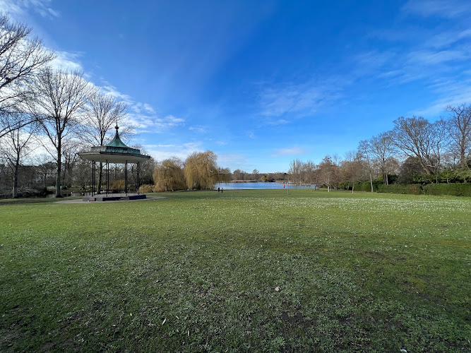
Regent’s Canal Walk is a waterside walking route beside Regent’s Canal at City Rd, London N1 8AP, on the Islington–Shoreditch edge of inner London. Built between 1812 and 1820 as an industrial link between Paddington and the Thames at Limehouse, the canal now draws walkers for narrowboat life, lock engineering, waterside wildlife and an unusually calm way to cross the city on foot.
What to Expect at Regent’s Canal Walk
The mapped City Road point sits close to City Road Basin, a former commercial basin where moored boats and warehouse-era brickwork meet new residential and office development. From here, follow the towpath west toward Angel and King’s Cross, or east through Shoreditch and Hackney toward Victoria Park. The canal’s 8.6-mile course runs from Little Venice to Limehouse Basin; it is best treated as a choose-your-own urban walk rather than a single out-and-back trail.
For the most characterful central stretch, walk west from City Road Basin to Islington Tunnel, opened in 1818. The 878-metre tunnel has no pedestrian towpath, so walkers must leave the water and follow the signed street-level diversion around it before rejoining at Angel. Continue toward King’s Cross for Granary Square and the restored canal-side industrial buildings, or head east for quieter stretches under railway bridges, graffiti-covered walls, reed edges and passing boats. Herons, coots and moorhens are common, while cyclists and runners share the narrow route.
- City Road Basin: Former freight basin near the starting point, with moorings, converted warehouses and broad views across the water.
- Islington Tunnel: An 878-metre, 1818 canal tunnel; use the street-level pedestrian diversion because there is no towpath through it.
- Narrowboat moorings: Residential and cruising boats provide a close view of present-day canal living; respect private decks and avoid blocking access points.
- King’s Cross connection: The westbound route reaches Granary Square, Coal Drops Yard and the canal-side remnants of the Victorian goods-yard district.
- Eastbound green route: Continue through Haggerston and London Fields toward Victoria Park for longer waterside walking and more open planting.
Regent’s Canal Walk at a Glance
| Detail | Information |
|---|---|
| Address | City Rd, London N1 8AP, United Kingdom |
| Neighborhood / Area | City Road Basin, between Islington, Angel and Shoreditch |
| Operating Hours | Public towpath access is generally available daily; walk in daylight and check local notices for closures. |
| Admission / Price Range | Free; no ticket or reservation required. |
| Recommended Visit Duration | 1.5 to 3 hours for the City Road–Angel–King’s Cross or eastbound Shoreditch sections. |
| Nearest Transit / Parking | Angel Underground (Northern line) is about a 10-minute walk; Old Street (Northern line and National Rail) is about 12 minutes. No dedicated visitor parking. |
| Official Website & Phone | Canal & River Trust: Regent’s Canal; Canal & River Trust 0303 040 4040 |
Visiting Tips, Getting There & Nearby Pairings
Start early, particularly on weekends, when the tight towpath is calmer and you can photograph boats and bridge arches without negotiating as much cycle traffic. Keep right where space allows, listen for bicycle bells, and avoid stopping across the path or on lock landings. There are no routine public toilets or cafés directly on every canal stretch, so use facilities at Angel, King’s Cross or Victoria Park before a longer walk. Dogs are welcome under close control; keep them away from the canal edge and boat gangplanks.
Angel station is the simplest approach for the City Road Basin and Islington Tunnel segment; Old Street works well for heading east. Bus routes along City Road provide useful alternatives, while driving is inconvenient because on-street restrictions and paid car parks change by zone. The towpath is not consistently step-free: surfaces can be narrow, uneven or muddy after rain, with pinch points at bridges and access ramps, and the Islington Tunnel diversion uses ordinary pavements. Wheelchair users and families with strollers should plan a short out-and-back from a ramped access point rather than the full route. Within 15 minutes on foot are Upper Street’s restaurants, the Regent’s Canal-side King’s Cross district, and Shoreditch’s Hoxton area; Granary Square’s fountains make an especially good westbound finishing point.
Frequently Asked Questions
When is the best time to walk Regent’s Canal?
The towpath is generally accessible daily, but daylight is the sensible time to walk because lighting varies considerably between bridges and side streets. Weekday mornings and early weekend mornings are best for a quieter route; summer afternoons bring more cyclists, runners and waterside visitors.
Does Regent’s Canal Walk cost anything or need booking?
Walking the public towpath is free and does not require tickets or reservations. Boat trips, cafés and special events along the route are separate businesses, so check their individual terms before visiting.
How long should I allow for the walk?
Allow 90 minutes to two hours for a relaxed City Road Basin to Angel and King’s Cross section, including the Islington Tunnel diversion. A longer eastbound walk toward Victoria Park takes roughly three hours with pauses, while the entire Little Venice-to-Limehouse route is a substantial full-day undertaking.
Is Regent’s Canal Walk suitable for wheelchairs, strollers and children?
It can work for short sections, but it is not an uninterrupted accessible trail. Expect narrow paths, uneven paving, water without continuous barriers and occasional ramps or steps; supervise children closely and choose a daylight route with a convenient exit point.
When planning your London travel guide or browsing verified attractions in London, pair this stop with standout local spots including Banh Mi Bay, Berlin Wall, Millennium Bridge, and Sen Viet (1.0 km away).


